


Here’s a surveying software solution that is extremely versatile as well as a real time- and money-saver. As it always has, Carlson Survey 2018 works like a surveyor thinks.
The #1 office software solution for surveyors in the United States, Carlson Survey supports AutoCAD® and comes with IntelliCAD® built-in. This is in addition to working on legacy AutoCAD versions.
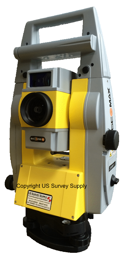
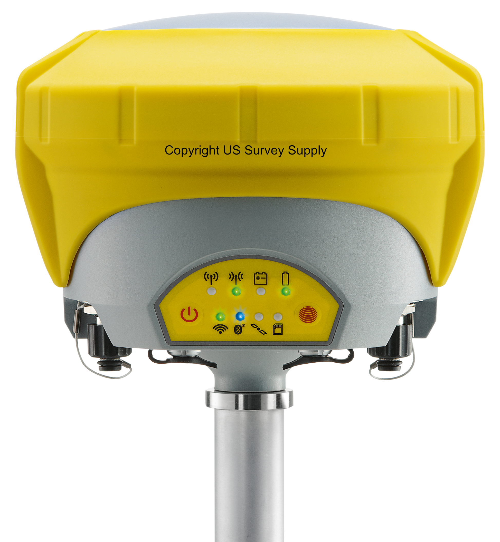
* Call us @ 866-USSURVEY for best pricing!
Carlson Survey gives users upgrades to core features like the coordinate database, Field-to-Finish coding and cut sheets, as well as new commands, including one to twist points to a 3D view, among its many additional improvements.
Carlson Survey delivers on customer feature requests with many useful improvements to existing commands along with many new commands. The user-interface also has a fresh look with a score of new and updated icons, plus an optional ribbon toolbar.
What's New in 2018?
· COGO Distance Input – Added method to input distances by point numbers using # as the delimiter.
· Edit Process Raw File – Added support for processing offset records (OF) for in/out, left/right and depth. Added display option to only show the traverse point records. Added search and replace function by point number.
· Geoid Utilities – New command to report geoid values, apply geoid values or switch the geoid for points.
· Coordinate Cloud – New command to store points to on-line database to share publicly or for personal lookup.
· Draw Points – Added option to mask point labels.
· Compare Points – Added option on dwg startup to compare the coordinate file with the point entities to report differences.
· Merge Points – Added option to make a point group from the new points.
· Export Points – Added method to select multiple coordinates files and output to a single coordinate file.
· Point Group Manager – Added function to thaw a select point group.
· Move Point Attribute With Leader – Added method to recall moved position when redrawing points.
· Field To Finish – For points with GIS attributes, added method to draw different symbols based on the attributes. New RAMP special code for placing curb ramps. Added method for circle by two points for diameter like SurvCE method. For Wall3D special code, added method for width relative to left or right instead of center. For multi-point symbols, added option to label a single averaged elevation and option to draw rectangle that encloses the symbol points. For points tagged as No Elevation on 3D polylines, added option whether to skip the point or interpolate the elevation. Added new YZ special code for Yes Elevation to turn on the real-z axis for that point. Added new LABEL3 special code for skipping the point labels. Added option whether to auto insert a space in the point description label when appending a description. For tree features, added option to label tree tag id when without creating a tree table. Added option to offset labels by tree symbol size. For pipe features, added option to use the code layer for the pipe entities, and added method to use points from top of pipe, enter material and pipe size for the program to calculate the bottom of pipe. For offset polylines, added option to label elevations and symbols on the offset points. For using road template to create parallel polylines, added option to use template grade ids in layer names. Added support for true color. Added check to Carlson Community for any symbols not found in the code table.
· Change Polyline Linetype – Added new half circle style linetype.
· Deed File By Interior Text – New command to create multiple deeds using linework boundary around selected text.
· Link Linework With Points – New command to create reactors on existing linework to update when coordinates change.
· Auto-Annotate – Added option to flip labels for twist screen and for separate mtext for the angle and distance labels.
· Bearing/Distance With Leader – Added style to center the distance label with the bearing label.
· Point To Point Table – Added methods to screen pick points and to pick from a list.
· Label Lat/Long – Added option for MLeader.
· Draw North Arrow – Added option to draw true, grid and magnetic arrows.
· Line Table – Added option to create table of only distances.
· Order Table – New command to order line/curve tag numbers by direction of left/right, top/bottom or alignment polyline.
· Draw Legend – Added option to draw table lines.
· Offset Dimensions – Added support for different precision by length.
· Stack Label Arc – Added method for multiple labels on the same row. Added option to label PI coordinates and station.
· Right of Way Crossing Table – Added options for including header and horizontal table lines.
General
-
Built on AutoCAD and IntelliCAD
Carlson Survey will run in AutoCAD® as well as AutoCAD® Map, Land Desktop and Civil3D and also on IntelliCAD.
-
Project Setup
Flexible data storage methods
-
Drawing Cleanup
Fix common drafting errors
-
Drafting Enchancements
Handy tools for working in AutoCAD® such as Join Nearest, Shrinkwrap Entities, Polyline Utilities, Drawing Inspector, Layer Inspector and Twist Screen
-
Data Compatibility
Supports industry standard LandXML and scores of specific data conversions
Surfaces
-
Build Surfaces
By triangulation or rectangular grids
-
Contouring
One step triangulate and contour from 3D entities as well as contouring from surface files
-
Surface Manager
Change surface display properties and adjust surface functions to add and remove points and breaklines and swap edges
-
Volumes
Earthwork volumes between triangulation or grid surfaces
-
Pad Design
Tie cut/fill slopes from pad perimeter to surface, build pad surface, calculate and balance volumes, and edit pad parameters
Centerlines
-
Design and Edit Centerlines
Design or input alignments on screen or in dialog with graphics
-
Label Stations and Offsets
Annotate station and offsets along centerline and at selected points
-
Calculate Offsets
Reports stations and offsets for selected points along centerline
-
Create Offset Points
Create points at specified stations and offsets
-
Spirals
Flexible handling of the most complex spiral curves including “spiral-only†elements going arc-spiral-arc, arc-spiral-line and line-spiral-line
Profiles
-
Create Profiles
From surfaces, screen entities, points on centerline, etc.
-
Quick Profile
One step profile creation with real-time update while adjusting centerline
-
Input-Edit Profiles
Enter profile data in dual spreadsheet and graphic window, and design in reference to controlling profile grade points
-
Draw Profiles
Draws profiles on grids or plan-profile sheets with auto-updating based on edits
-
Profiles To 3D
Create points and 3D polylines from profiles
Points
-
Import/Export
User-defined import and export of point data along with conversions with specific other formats
-
Draw Points
Draw points with settings for symbols, layers and styles
-
Point Groups
Point group manager to define sets of point by filters
-
Coordinate File History
Tracks all changes to points with report and undo functions
-
Fix Point Label Overlaps
Finds point label overlaps with rule options to fix automatically
-
Point Tools
Utilities for modify point labels such as move with leader, twist and resize
Survey
-
Data Collection Interfaces
Upload and download to
popular data collectors -
Traverse Adjustment
Spreadsheet editor for raw data with graphics and processing for traverse adjustments
-
SurvNET
Advanced network least-squares for total station, GPS and level data
-
Field-to-Finish
Draw points with styles and in point groups set by point descriptions and draw linework by several flexible methods
-
Field-to-Finish Inspector
Inspect all field-to-finish elements, see description source and re-draw based on descriptions edits
-
COGO
Streamlined inverse, traverse, sideshot, intersections, interpolation, translate, rotate, scale and align
-
Coordinate Transformations
Transform coordinates and screen entities between lat/lon and grid projections as well as local to local by Helmert and least-squares methods
-
Deeds
Enter deed by description, read deed data from deed file, deed reports, deed correlation and generate legal description from drawing
-
Cut Sheets
Create custom cut sheet reports with reference grades and station-offsets
Area/Layout
-
Label Areas
Customized area label styles and several methods to select areas to label
-
Size Areas
Sliding side area, hinged area, area radial from curve and bearing area cutoff
-
Lot Manager
Lot definitions by point numbers with functions to create lots, conduct mapcheck for closure, edit in spreadsheet with graphics, report lots and draw lots
-
Lot Layout
Size lots along alignment with controls for target area, setback and frontage
-
Offsets, Intersection and Cul-de-Sacs
Layout for ROW and EOP linework
Annotation
-
Angle & Distance Labels
Flexible routines to label linework in all possible layout combinations plus available rules to automatically fix label overlaps and revise labels when entities move
-
Curve Labels
Label curve data in stack, along arc or in table
-
Survey Text
Routines to create typical plat labels such as offset and building dimensions
-
Label Elevations
Label spot elevations along an alignment
-
Linetypes
Draw special linetypes
Testimonials:


