


Carlson Civil 2018 is one component of the Carlson Civil Suite 2018 and is designed especially for civil engineers and CAD technicians who need power and flexibility to make “short work” of even the most challenging design projects. At its foundation, Carlson Civil contains sophisticated and integrated command sets that are easy to learn, cost-effective and even fun to use!
Carlson Civil is the civil engineering design software that puts you in the passing lane! What might take days with other civil engineering software takes just hours, or even minutes, with the powerful and intuitive Carlson Civil–it’s advanced technology that will work for you.
Work with Carlson Civil on AutoCAD (versions 2004 to current) or with the built-in IntelliCAD 8.3. With Carlson Civil, you’ll get true 3D, easy-to-use 3D, plus the ability to view an actual image draped onto a surface in both the Carlson 3D Viewer and Surface 3D Flyover.
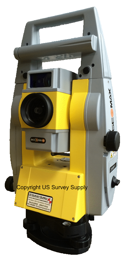
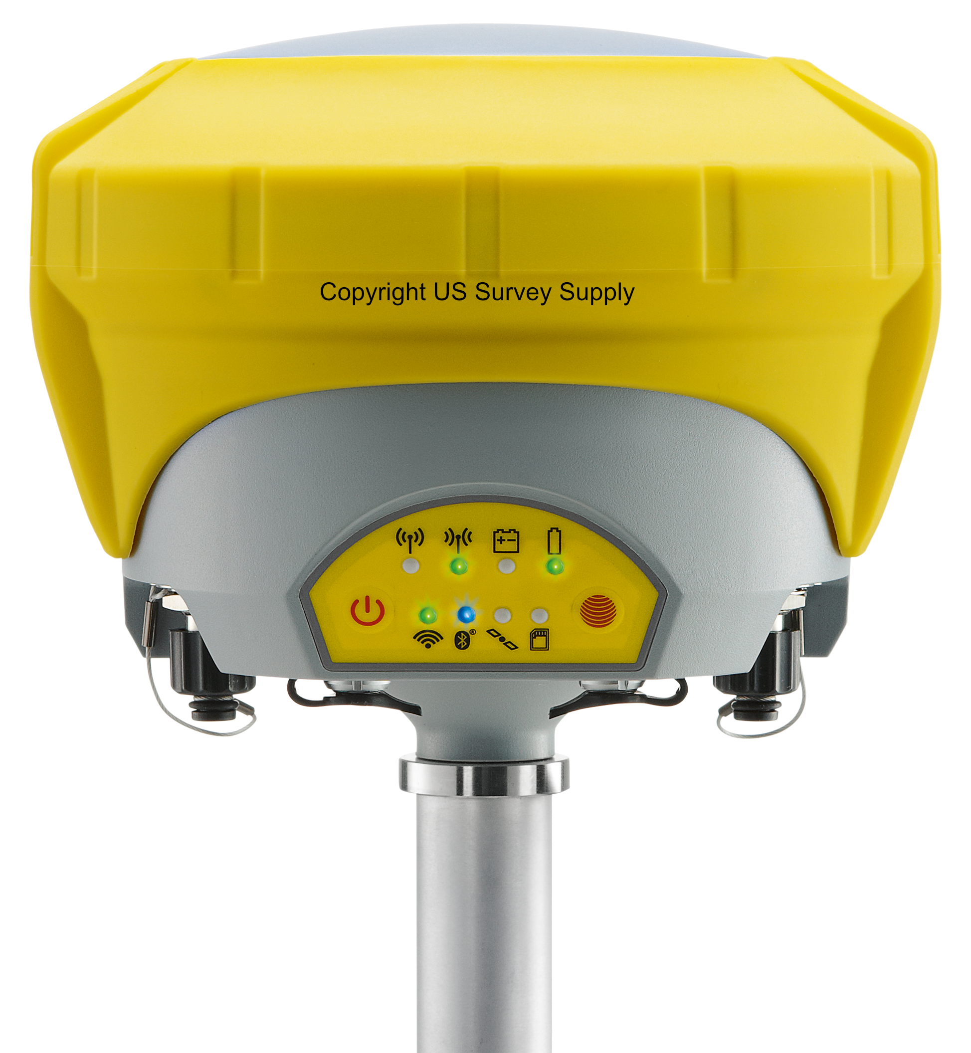
* Call us @ 866-USSURVEY for best pricing!
Carlson Civil users have an extensive selection of analysis and design tools at their fingertips, including these new features:
· Triangulate and Contour – Added option to auto densify breaklines. Added option for label layers to use main contour layer as prefix.
· Display Last TIN Error Log – New command to show the last data error log from Triangulate and Contour.
· TIN History – New ability to track source data and edits for TIN for review and reprocessing.
· Triangulation File Utilities – Added new merge TINs method that retriangulates from original point data. Added functions to offset, divide and multiply by another TIN. Added function to break bent edges.
· Import NASA World Elevation Dataset – New command to create a surface grid from this dataset at 1 arc-second interval.
· Draw Contour Marker Label Line – New command to control placement of contour labels.
· Design Pad Template – Added method for creating retaining wall at the grade limits.
· Design Template – Added a new curb style with batter and rise. Added subgrade method to fit surface to subgrade.
· Draw Typical Template – Added subgrade legend. Added settings for slope decimals, distance suffix and labels in inches.
· Template Grade Table – Added function to return to defaults.
· Template Point Centerline – Added support to apply to the TIE point.
· Process Road Design – Added method for divided highways to use separate centerlines for stationing and for road design. Added use of material density for reporting subgrade tons by material.
· Road Network – Added support for creating an island inside cul-de-sacs. For output of existing ground profiles, added option to create left/right offset profiles. Added option to skip creating intersection curb return for crossings like an overpass or RR. Added method for intersections for second template point profile.
· Tag Curb Ramp – New command to locate positions along alignment for creating curb ramps for Process Road Design and Road Network.
· Station Polyline/Centerline – Added options for labeling PIs at deflections. Added settings for PI station label prefix and suffix, controls to rotate perpendicular or horizontal, separate properties for layer and style, and setting for size of PI lines.
· Label Station/Offset – Added option to label cut/fill.
· Calculate Offsets – Added option to label cut/fill.
· Offset Point Entry – Added method for multiple offsets per station.
· Draw Curb Ramp – Added method to pick left/right ends, option to set ramp slope and option to taper back. Added method to select driveway polylines for ramp area. Added method to updating crossing road linework besides the curb such as sidewalks.
· Super Elevation – Added support for station equations. For transition part in tangent, added option to have tangent as distance as well as percent.
· Slope At Points – Added style settings, option to draw box with solid background and option to label horizontal.
· Elevate Intersection Curb Return – New command to assign elevations for a curb based on main and side road elevations.
· Cut/Fill Labels – Added method for gradient colors.
· Cut/Fill Slope Lines – Added zigzag style.
· Cut/Fill Slope Color Map – New command to color a surface based on slope amount separately for cut/fill areas.
· Draw Spot Elevations – Added option to prompt for second elevation.
· Profile From 3D Polylines – Added method to process multiple polylines and put breaks between like for curb profiles.
· International Roughness Index – Upgraded to report IRI by station interval.
· Draw Profile – Added method to label horizontal axis elevations on both top and bottom of profile grid and added setting for label justification. For sewer labels above rim, added placement controls for vertical line. Added method to draw grid as lines on major interval with dots for minor interval. Added option for vertical elevation bar. Added separate sizes for grid tick marks on major and minor intervals.
· Input Edit Section Alignment – Added method to station by another reference CL.
· Draw Section File – Added support for drawing an unlimited number of section files. Added separate controls for major/minor grid intervals. For volume labels, added settings for label names and whether to draw elevations. Added settings to configure the printer/plotter when creating layouts. Added option to output to sheet sets. Added method to draw grid as lines on major interval with dots for minor interval. Added option for vertical elevation bar. For labeling volumes, added option to calculate volumes using all the stations in the section file or only the stations being drawn.
· Calculate Section Volumes – Added method to report incremental volumes by elevation zones.
· Footprint Creator – Added method to place multiple footprints within building pads. Placement controls for center or lot edge. Added option to rotate footprint. Added method to draw multiple footprint options. Added method to draw driveways.
· Parking – Added method for parking space depth by offset from curb.
· Lot Network – Added method to draw buildable areas on a layer and use for report of buildable width and depth. Added option to align building pads with lot edge. Added method to draw driveways. Added method to hatch setback and driveway areas. Added option to automatically output to a Lot file.
· ID Linework – New command to identify the type of LotNET linework such as ROW or lot edge.
· Untag Linework – New command to remove a tag from an entity to remove it from the LotNET model.
· Connect Driveways – New command to connect driveway linework to ROW or a selected polyline.
· Assign Building Type – New command to set building types for lots in LotNET.
· Tag No Building Area – New command to define area to avoid for LotNET building placement.
· Set Lot Edge To Nearest Second – New command that adjusts lot lines to set them to the nearest second.
· Point Check – New command to snap lot points together within given distance.
· Output To Lot File – Added options to create lots for ROW and boundary linework.
· Lot File Manager – Added method to select lots by screen pick or within an inclusion perimeter.
Testimonials:


