


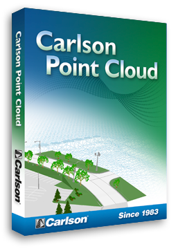
Field Scan to Finished Plat with Carlson Point Cloud
Carlson Point Cloud is a modular program that provides this powerful ability to go from field scan to finished plat, all with seamless integration to Carlson Survey, Carlson Civil and Carlson Mining. Carlson Point Cloud delivers a whole new level of powerful automation for large data sets. It gives laser scanner users the ability to process millions of data points with Carlson Software ease-of-use.
Register your scan to local coordinates, filter or decimate the points, overlay raster images in 3D, snap to edges and code the descriptions for automated field-to finish processing of linework and symbols and create contours, profiles, sections, and breaklines. You will be able to read scan data from many instruments, view and process up to 1 billion points, and then perform the Field-to-Finish from the scanned data! This Carlson Software office products allows users to export surface models, points, contours, breaklines, grid and profiles to CAD.
* Call us @ 866-USSURVEY for best pricing!
Features:
Data Extraction
- 3D extraction of poles, trees, and hydrants (NEW in 2012)
- Extract data from clouds or meshes — TINs, Contours, Profiles, Sections and Breaklines — and draw them in CAD design.
Import / Export
- Import/export of grids (NEW in 2012)
- Import/export point clouds containing up to 1 billion points. Since 2011, Carlson Point Cloud uses a new cloud engine that allows ultra large clouds.
- Import more cloud formats, including Lidar, Leica, Faro, DEM, and more.
- Import scan data from various sources.
Multiple Scan Consolidation
- Register multiple scans into one cloud.
Anomaly Reduction
- Reduce anomalies with tools like Resample Cloud and Clean Cloud.
Data Improvement Tools
- Continue data improvement with Smooth Mesh and Simplify Mesh (this reduces the size of the model by removing least significant data points.
Field-to-Finish
- Use the full power of Carlson Field-to-Finish with Point Cloud data. You can use the same FLD files you use with GPS or conventional total stations with Symbols, Line Work and Labels all drawn in CAD.
Surface Data Commands
- Load Surfaces — Import scan data from various sources.
- View Surface — 3D viewer for point cloud data.
Scan Utilities
- Resample and filter scan data.
Breaklines
- Automatic 3D breakline creation based on surface zones.
Generate Profiles & Sections
- Trace an alignment across the site and generate profiles or sections.
Testimonials:


